STOP: FRAZIER PARK
LISTEN/DOWNLOAD [MP3]
SB CUE Frazier Mountain Park Rd.
NB CUE Exit 205 - Frazier Mtn Park Rd. 3/4 Mile
SITE
Pacific Custom Materials Inc.
View LANDSAT Map
LOCATION
17410 Lockwood Valley Rd., Frazier Park
THREATS AND CONTAMINANTS
Particulates and other air pollutants
VOICE
Sylvia Swan, Matt Richards, Tri-County Watchdogs, Frazier Park
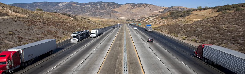
Frazier Park is located in the San Emidio Mountains northwest of Tejon Pass's summit. This small community of approximately 2,300 residents is situated at the border of Kern, Ventura, and Los Angeles Counties.
Residents of the area since 1992, the Swan family moved to a home in Lockwood Valley basin, part of Frazier Mountain area, in December 1998. Shortly thereafter, Sylvia Swan's oldest son began experiencing hydrocephalitic seizures. She and her husband were also experiencing respiratory problems themselves, along with their neighbors. It turned out that their new home was less than 600 feet from a diesel-burning facility -Pacific Custom Materials Inc., also known as TXI, Inc.
Considered one of Frazier Park's biggest polluters, TXI operates two kilns that convert clay into lightweight aggregate. The facility runs 24-hours-a-day, seven days a week, producing 218,280 tons of aggregate per year. Sylvia wanted to know why the community had not been informed of this health hazard and why state and county regulators allowed the facility to burn over four million gallons of diesel annually in a residential neighborhood.
Between March 2000 and February 2003, the Ventura County Air Pollution Control District cited TXI sixteen times for violations of emission standards and in conjunction with the California Air Resources Board sued TXI in 2002 for exceeding sulfur dioxide emission limits in the company's air quality permit. Sulfur dioxide is a known respiratory irritant, according to state health officials.
Under the terms of the state and Air Pollution Control District lawsuit, TXI was required to pay $350,000 to a state fund, file monthly reports on emissions and diesel consumption, and retrofit several pieces of diesel-powered heavy equipment with cleaner technology.
LISTEN/DOWNLOAD [MP3]
SB CUE Frazier Mountain Park Rd.
NB CUE Exit 205 - Frazier Mtn Park Rd. 3/4 Mile
SITE
Pacific Custom Materials Inc.
View LANDSAT Map
LOCATION
17410 Lockwood Valley Rd., Frazier Park
THREATS AND CONTAMINANTS
Particulates and other air pollutants
VOICE
Sylvia Swan, Matt Richards, Tri-County Watchdogs, Frazier Park
Frazier Park is located in the San Emidio Mountains northwest of Tejon Pass's summit. This small community of approximately 2,300 residents is situated at the border of Kern, Ventura, and Los Angeles Counties.
Residents of the area since 1992, the Swan family moved to a home in Lockwood Valley basin, part of Frazier Mountain area, in December 1998. Shortly thereafter, Sylvia Swan's oldest son began experiencing hydrocephalitic seizures. She and her husband were also experiencing respiratory problems themselves, along with their neighbors. It turned out that their new home was less than 600 feet from a diesel-burning facility -Pacific Custom Materials Inc., also known as TXI, Inc.
Considered one of Frazier Park's biggest polluters, TXI operates two kilns that convert clay into lightweight aggregate. The facility runs 24-hours-a-day, seven days a week, producing 218,280 tons of aggregate per year. Sylvia wanted to know why the community had not been informed of this health hazard and why state and county regulators allowed the facility to burn over four million gallons of diesel annually in a residential neighborhood.
Between March 2000 and February 2003, the Ventura County Air Pollution Control District cited TXI sixteen times for violations of emission standards and in conjunction with the California Air Resources Board sued TXI in 2002 for exceeding sulfur dioxide emission limits in the company's air quality permit. Sulfur dioxide is a known respiratory irritant, according to state health officials.
Under the terms of the state and Air Pollution Control District lawsuit, TXI was required to pay $350,000 to a state fund, file monthly reports on emissions and diesel consumption, and retrofit several pieces of diesel-powered heavy equipment with cleaner technology.