STOP: LIVERMORE
LISTEN/DOWNLOAD [MP3]
SB CUE North Livermore Ave./Downtown Livermore Exit
NB CUE North Greenville Rd./ Laughlin Rd. - 1mi.
SITE
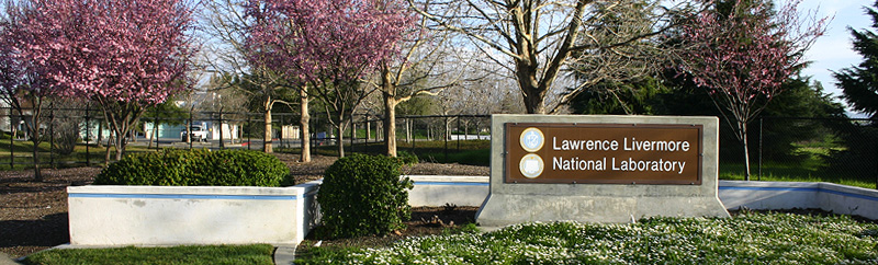
Lawrence Livermore National Laboratory (LLNL)
View LANDSAT Map
LOCATION
Westgate Drive at Vasco Rd., LLNL Discovery Center, 7000 East Ave.
LLNL Discovery Center, 7000 East Ave.
THREATS AND CONTAMINANTS
Beryllium disease, brain and prostate cancer, melanoma, diseases linked to ionizing radiation, tritiated water
VOICE
Tara Dorabji, Tri-Valley CAREs
Lawrence Livermore National Lab (LLNL) is one of two major nuclear weapons design labs in the U.S. Operated by the University of California, research at the lab is primarily for weapons development. In 2006, one billion dollars was requested for weapons equaling eighty-seven percent of the lab's total budget request. The lab has two Superfund sites-one at the Livermore main site, and one off of Coral Hollow Road, at the Site 300 high explosives testing facility.
Tri-Valley CAREs is an anti-nuclear watchdog group focused on the lab since 1983. Using the Freedom Of Information Act, Tri-Valley CAREs found that including two major radiation leaks at the Tritium Facility in the 1960s and 70s, over one million curies of airborne radiation were released by the lab over the last fifty years. Tritium is radioactive hydrogen. Studies show that low-level exposure to tritium is extremely hazardous; there is no safe minimum threshold for radiation exposure to tritium. Over 1,500 claims have been filed by Livermore Lab employees, former employees, or relatives for compensation from on the job exposure to radiation, beryllium and other poisonous substances, resulting in terminal illness or death from working in proximity to these materials.
The lab is seeking to significantly expand the amount of radioactive materials onsite. The Department of Energy predicts that these increases will more than triple the ionizing radiation dose to the public. In addition, groundwater contamination at the LLNL site is currently about two miles from some of Livermore's public water supply wells. In January 2005, the plutonium facility was shut down for over a year due to systemic safety deficiencies. In February 2006, the lab announced plans to install Gatling guns capable of shooting a target a mile away around the perimeter of the facility. Residential housing is located just across Vasco Road and Arroyo Seco Elementary School is within the one-mile fire range. The white Tritium Facility stack can be viewed from I-580 if you look south from the hills just above Greenville Road.
SECONDARY SITE:
Site 300 is the eleven-square mile Lawrence Livermore Experimental Test Site, located west of I-5 on Coral Hollow Road. This Superfund site has groundwater contamination from solvents, VOCs, tritium, uranium-238, high explosive compounds (HMX, RDX), nitrate, and perchlorate. The primary health threat is from drinking contaminated groundwater. (Source: USEPA)
LISTEN/DOWNLOAD [MP3]
SB CUE North Livermore Ave./Downtown Livermore Exit
NB CUE North Greenville Rd./ Laughlin Rd. - 1mi.
SITE
Lawrence Livermore National Laboratory (LLNL)
View LANDSAT Map
LOCATION
Westgate Drive at Vasco Rd., LLNL Discovery Center, 7000 East Ave.
LLNL Discovery Center, 7000 East Ave.
THREATS AND CONTAMINANTS
Beryllium disease, brain and prostate cancer, melanoma, diseases linked to ionizing radiation, tritiated water
VOICE
Tara Dorabji, Tri-Valley CAREs
Lawrence Livermore National Lab (LLNL) is one of two major nuclear weapons design labs in the U.S. Operated by the University of California, research at the lab is primarily for weapons development. In 2006, one billion dollars was requested for weapons equaling eighty-seven percent of the lab's total budget request. The lab has two Superfund sites-one at the Livermore main site, and one off of Coral Hollow Road, at the Site 300 high explosives testing facility.
Tri-Valley CAREs is an anti-nuclear watchdog group focused on the lab since 1983. Using the Freedom Of Information Act, Tri-Valley CAREs found that including two major radiation leaks at the Tritium Facility in the 1960s and 70s, over one million curies of airborne radiation were released by the lab over the last fifty years. Tritium is radioactive hydrogen. Studies show that low-level exposure to tritium is extremely hazardous; there is no safe minimum threshold for radiation exposure to tritium. Over 1,500 claims have been filed by Livermore Lab employees, former employees, or relatives for compensation from on the job exposure to radiation, beryllium and other poisonous substances, resulting in terminal illness or death from working in proximity to these materials.
The lab is seeking to significantly expand the amount of radioactive materials onsite. The Department of Energy predicts that these increases will more than triple the ionizing radiation dose to the public. In addition, groundwater contamination at the LLNL site is currently about two miles from some of Livermore's public water supply wells. In January 2005, the plutonium facility was shut down for over a year due to systemic safety deficiencies. In February 2006, the lab announced plans to install Gatling guns capable of shooting a target a mile away around the perimeter of the facility. Residential housing is located just across Vasco Road and Arroyo Seco Elementary School is within the one-mile fire range. The white Tritium Facility stack can be viewed from I-580 if you look south from the hills just above Greenville Road.
SECONDARY SITE:
Site 300 is the eleven-square mile Lawrence Livermore Experimental Test Site, located west of I-5 on Coral Hollow Road. This Superfund site has groundwater contamination from solvents, VOCs, tritium, uranium-238, high explosive compounds (HMX, RDX), nitrate, and perchlorate. The primary health threat is from drinking contaminated groundwater. (Source: USEPA)